 vesseltracker.com
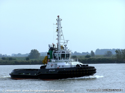
Live AIS position:
36.89619° N, 7.76508° E UTC. Near Annaba),
updated 2025-11-17 03:12:54 UTC.
Find the position of the vessel Sidi Brahim on the map. The latter are known coordinates and path.
marine traffic ship tracker show on live map
The current position of vessel Sidi Brahim is 36.89619 lat / 7.76508 lng. Updated: 2025-11-17 03:12:54 UTCDetails:
Last coordinates of the vessel:
UTC, 36.89619, 7.76508, course: -1, speed: 0UTC, 36.89619, 7.76508, course: -1, speed: 0
UTC, 36.89619, 7.76508, course: -1, speed: 0
2025-11-17 03:12:54 UTC, 36.89619, 7.76508, course: -1, speed: 0