 vesseltracker.com
Find the position of the vessel LAHTA on the map. The latter are known coordinates and path.
marine traffic ship tracker show on live map
The current position of vessel LAHTA is 43.03082 lat / 3.10238 lng. Updated: 2025-10-22 23:53:43 UTCCurrently sailing under the flag of Cameroon
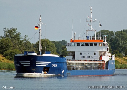
LAHTA built in 1985 year
Deadweight:
2507 tDetails:
Last coordinates of the vessel:
UTC, 43.03067, 3.10208, course: 42, speed: 0.1UTC, 43.03067, 3.10208, course: 42, speed: 0.1
UTC, 43.03067, 3.10208, course: 42, speed: 0.1
2025-10-22 23:53:43 UTC, 43.03082, 3.10238, course: 154, speed: 0