 vesseltracker.com
Find the position of the vessel Firat on the map. The latter are known coordinates and path.
marine traffic ship tracker show on live map
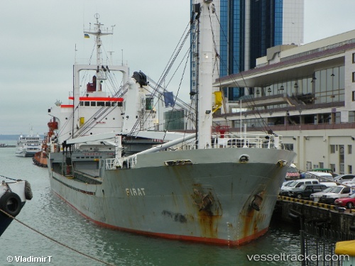
The current position of vessel Firat is 37.42654 lat / 24.03953 lng. Updated: 2025-11-02 05:44:21 UTCCurrently sailing under the flag of Comoros
Firat built in 1983 year
Deadweight:
6378 tDetails:
Last coordinates of the vessel:
UTC, 37.02833, 23.69500, course: -1, speed: 10UTC, 37.17750, 23.82263, course: 34, speed: 10.6
UTC, 37.38038, 24.00184, course: 36, speed: 9.9
2025-11-02 05:44:21 UTC, 37.42654, 24.03953, course: 35, speed: 9.8