 vesseltracker.com
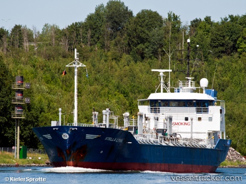
Find the position of the vessel Durango9 on the map. The latter are known coordinates and path.
marine traffic ship tracker show on live map
The current position of vessel Durango9 is 29.7034 lat / 48.6978 lng. Updated: 2025-07-03 04:47:43 UTCPort of registry:
Moroni (capital of Comoros)Service entry:
1989-01-01T00:00:00ZManufacturer:
Tille Scheepsbouw (former Dutch shipyard)Details:
Last coordinates of the vessel:
UTC, 29.7034, 48.6978, course: -1, speed: 0.2UTC, 29.7033, 48.6977, course: -1, speed: 0
UTC, 29.7035, 48.6978, course: -1, speed: 0.1
2025-07-03 04:47:43 UTC, 29.7034, 48.6978, course: -1, speed: 0.1