 vesseltracker.com
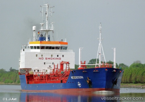
Vessel SAMA 2 IMO: 9035826, MMSI: 620999062 Oil Products Tanker
UTC, 25.47060, 55.50718, course: 212, speed: 0
UTC, 25.47167, 55.50667, course: -1, speed: 0
2026-01-17 14:05:09 UTC, 25.47077, 55.50717, course: 212, speed: 0
Live AIS position:
UTC. Near Al Hamriyah),
updated 2026-01-17 14:05:09 UTC.
Find the position of the vessel SAMA 2 on the map. The latter are known coordinates and path.
marine traffic ship tracker show on live map
The current position of vessel SAMA 2 is 25.47077 lat / 55.50717 lng. Updated: 2026-01-17 14:05:09 UTCCurrently sailing under the flag of Comoros
Details:
Last coordinates of the vessel:
UTC, 25.47090, 55.50738, course: 212, speed: 0UTC, 25.47060, 55.50718, course: 212, speed: 0
UTC, 25.47167, 55.50667, course: -1, speed: 0
2026-01-17 14:05:09 UTC, 25.47077, 55.50717, course: 212, speed: 0