 vesseltracker.com
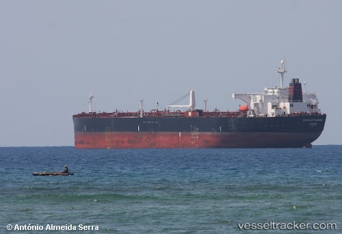
Find the position of the vessel AGNI on the map. The latter are known coordinates and path.
marine traffic ship tracker show on live map
The current position of vessel AGNI is 36.8216 lat / 122.459 lng. Updated: 2025-07-13 02:23:25 UTCCurrently sailing under the flag of Comoros
AGNI built in 2007 year
Deadweight:
105641 tDetails:
Last coordinates of the vessel:
UTC, 36.8198, 122.454, course: 81, speed: 0.1UTC, 36.8216, 122.456, course: 167, speed: 0.1
UTC, 36.8219, 122.458, course: 205, speed: 0
2025-07-13 02:23:25 UTC, 36.8216, 122.459, course: 218, speed: 0