 vesseltracker.com
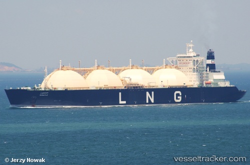
Find the position of the vessel Mubaraz on the map. The latter are known coordinates and path.
marine traffic ship tracker show on live map
The current position of vessel Mubaraz is 25.15714 lat / 52.88710 lng. Updated: 2025-11-09 01:00:50 UTCCurrently sailing under the flag of Liberia
Mubaraz built in 1996 year
Deadweight:
72950 tDetails:
Last coordinates of the vessel:
UTC, 25.15713, 52.88708, course: 343, speed: 0UTC, 25.15713, 52.88708, course: 343, speed: 0
UTC, 25.15713, 52.88708, course: 343, speed: 0
2025-11-09 01:00:50 UTC, 25.15714, 52.88710, course: 343, speed: 0