 vesseltracker.com
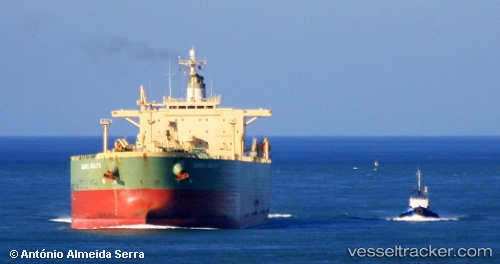
Vessel Santa Cruz I IMO: 9259680, MMSI: 636011265 Crude Oil Tanker
UTC, 22.32670, 114.10158, course: 80, speed: 0
UTC, 22.32665, 114.10157, course: 80, speed: 0
2026-01-13 20:31:21 UTC, 22.32665, 114.10157, course: 80, speed: 0
Live AIS position:
UTC. Near Tsing Yi),
updated 2026-01-13 20:31:21 UTC.
Find the position of the vessel Santa Cruz I on the map. The latter are known coordinates and path.
marine traffic ship tracker show on live map
The current position of vessel Santa Cruz I is 22.32665 lat / 114.10157 lng. Updated: 2026-01-13 20:31:21 UTCCurrently sailing under the flag of Liberia
Santa Cruz I built in 2002 year
Deadweight:
84999 tDetails:
Last coordinates of the vessel:
UTC, 22.32667, 114.10158, course: 80, speed: 0UTC, 22.32670, 114.10158, course: 80, speed: 0
UTC, 22.32665, 114.10157, course: 80, speed: 0
2026-01-13 20:31:21 UTC, 22.32665, 114.10157, course: 80, speed: 0