 vesseltracker.com
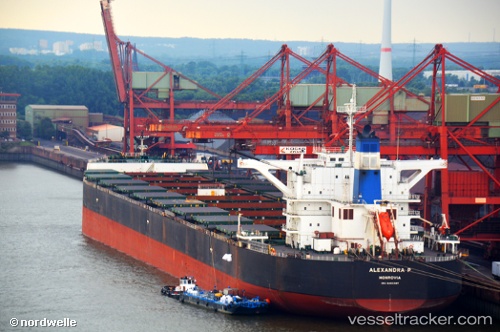
Live AIS position:
1.27933° N, 104.00670° E UTC. Near TANAH MERAH),
updated 2025-11-22 08:38:53 UTC.
Find the position of the vessel Alexandra P on the map. The latter are known coordinates and path.
marine traffic ship tracker show on live map
The current position of vessel Alexandra P is 1.27933 lat / 104.00670 lng. Updated: 2025-11-22 08:38:53 UTCDetails:
Last coordinates of the vessel:
UTC, 1.27932, 104.00662, course: 274, speed: 0.1UTC, 1.27943, 104.00665, course: 266, speed: 0
UTC, 1.27953, 104.00653, course: 270, speed: 0
2025-11-22 08:38:53 UTC, 1.27933, 104.00670, course: 268, speed: 0.1