 vesseltracker.com
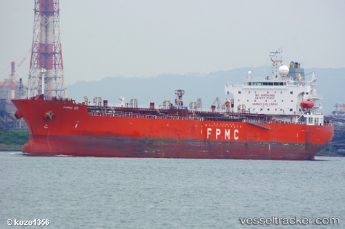
Find the position of the vessel Virgo on the map. The latter are known coordinates and path.
marine traffic ship tracker show on live map
The current position of vessel Virgo is 26.15507 lat / 50.76285 lng. Updated: 2025-11-04 22:02:44 UTCCurrently sailing under the flag of Liberia
Virgo built in 2010 year
Deadweight:
50997 tDetails:
Last coordinates of the vessel:
UTC, 26.15509, 50.76295, course: 1, speed: 0UTC, 26.15506, 50.76299, course: 2, speed: 0
UTC, 26.15510, 50.76301, course: 359, speed: 0
2025-11-04 22:02:44 UTC, 26.15507, 50.76285, course: 6, speed: 0