 vesseltracker.com
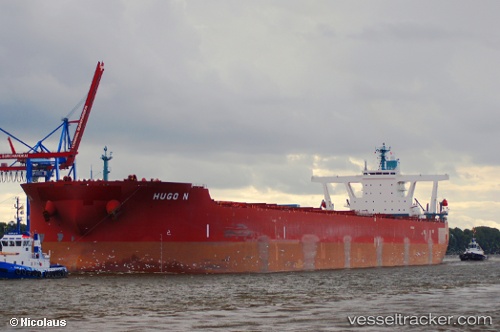
Find the position of the vessel Hugo N on the map. The latter are known coordinates and path.
marine traffic ship tracker show on live map
The current position of vessel Hugo N is -21.0919 lat / -37.7115 lng. Updated: 2025-02-22 20:24:22 UTCPort of registry:
Monrovia (capital city of Liberia)Speed:
14.5 knotPayload_mass:
297088 tonneGross tonnage:
151448Service entry:
2011-01-01T00:00:00ZDetails:
Last coordinates of the vessel:
UTC, -20.9035, -38.3318, course: 108, speed: 9.5UTC, -20.9707, -38.1306, course: 108, speed: 9.8
UTC, -21.0004, -38.0347, course: 106, speed: 9.8
2025-02-22 20:24:22 UTC, -21.0919, -37.7115, course: 109, speed: 10