 vesseltracker.com
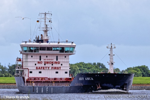
Find the position of the vessel Arif Amca on the map. The latter are known coordinates and path.
marine traffic ship tracker show on live map
The current position of vessel Arif Amca is 30.00750 lat / 122.10400 lng. Updated: 2025-09-27 06:35:03 UTCCurrently sailing under the flag of Liberia
Arif Amca built in 2012 year
Deadweight:
11086 tDetails:
Last coordinates of the vessel:
UTC, 30.00750, 122.10400, course: 138, speed: 2.2UTC, 30.00750, 122.10400, course: 138, speed: 2.2
UTC, 30.00750, 122.10400, course: 138, speed: 2.2
UTC, 30.00750, 122.10400, course: 138, speed: 2.2
UTC, 30.00750, 122.10400, course: 138, speed: 2.2
2025-09-27 06:35:03 UTC, 30.00750, 122.10400, course: 138, speed: 2.2