 vesseltracker.com
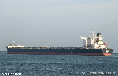
Find the position of the vessel Stella on the map. The latter are known coordinates and path.
marine traffic ship tracker show on live map
The current position of vessel Stella is 18.05418 lat / 106.44767 lng. Updated: 2025-11-11 05:42:25 UTCCurrently sailing under the flag of Liberia
Stella built in 2009 year
Deadweight:
179700 tDetails:
Last coordinates of the vessel:
UTC, 18.05402, 106.44756, course: 64, speed: 0UTC, 18.05412, 106.44770, course: 64, speed: 0
UTC, 18.05413, 106.44765, course: 64, speed: 0
2025-11-11 05:42:25 UTC, 18.05418, 106.44767, course: 64, speed: 0