 vesseltracker.com
Find the position of the vessel Golden Ray on the map. The latter are known coordinates and path.
marine traffic ship tracker show on live map
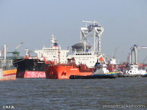
The current position of vessel Golden Ray is 35.9603 lat / -6.16686 lng. Updated: 2025-05-09 16:50:25 UTCCurrently sailing under the flag of Liberia
Golden Ray built in 2012 year
Port of registry:
Monrovia (capital city of Liberia)Deadweight:
19802 tGross tonnage:
11733Service entry:
2012-01-01T00:00:00ZDetails:
Last coordinates of the vessel:
UTC, 35.958, -5.63723, course: 269, speed: 10.2UTC, 35.9533, -5.82602, course: 273, speed: 11
UTC, 35.9591, -5.97075, course: 272, speed: 11.4
2025-05-09 16:50:25 UTC, 35.9603, -6.16686, course: 269, speed: 9.9
The ship also appears on the maps: