 vesseltracker.com
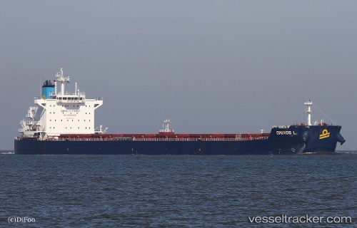
Find the position of the vessel Omiros L on the map. The latter are known coordinates and path.
marine traffic ship tracker show on live map
The current position of vessel Omiros L is 1.27652 lat / 104.29142 lng. Updated: 2025-11-13 00:40:04 UTCDetails:
Last coordinates of the vessel:
UTC, 1.27778, 103.97006, course: 67, speed: 0.2UTC, 1.27038, 103.99069, course: 95, speed: 7.4
UTC, 1.26256, 104.13959, course: 84, speed: 10.8
2025-11-13 00:40:04 UTC, 1.27652, 104.29142, course: 79, speed: 10.7