 vesseltracker.com
Find the position of the vessel Anita on the map. The latter are known coordinates and path.
marine traffic ship tracker show on live map
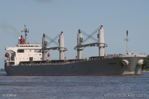
The current position of vessel Anita is 51.47761 lat / 3.70329 lng. Updated: 2025-10-28 16:23:37 UTCCurrently sailing under the flag of Liberia
Anita built in 2003 year
Deadweight:
48104 tDetails:
Last coordinates of the vessel:
UTC, 51.47761, 3.70329, course: 240, speed: 0UTC, 51.47761, 3.70329, course: 240, speed: 0
UTC, 51.47761, 3.70329, course: 240, speed: 0
UTC, 51.47761, 3.70329, course: 240, speed: 0
UTC, 51.47761, 3.70329, course: 240, speed: 0
2025-10-28 16:23:37 UTC, 51.47761, 3.70329, course: 240, speed: 0