 vesseltracker.com
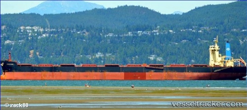
Find the position of the vessel Amigo Ii on the map. The latter are known coordinates and path.
marine traffic ship tracker show on live map
The current position of vessel Amigo Ii is 34.90351 lat / 127.75366 lng. Updated: 2025-10-28 06:00:28 UTCCurrently sailing under the flag of Liberia
Details:
Last coordinates of the vessel:
UTC, 34.90349, 127.75372, course: 282, speed: 0UTC, 34.90340, 127.75378, course: 282, speed: 0
UTC, 34.90361, 127.75359, course: 282, speed: 0.1
2025-10-28 06:00:28 UTC, 34.90351, 127.75366, course: 282, speed: 0