 vesseltracker.com
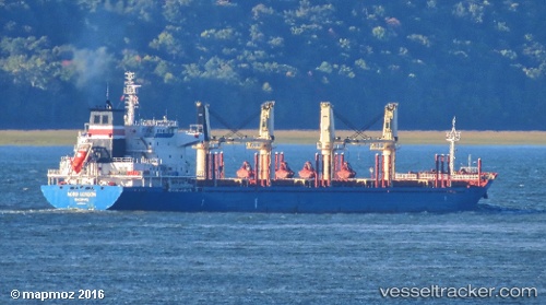
Find the position of the vessel Nestor I on the map. The latter are known coordinates and path.
marine traffic ship tracker show on live map
The current position of vessel Nestor I is 30.42522 lat / -9.64114 lng. Updated: 2025-10-07 16:02:23 UTCCurrently sailing under the flag of Liberia
Nestor I built in 2011 year
Deadweight:
32312 tDetails:
Last coordinates of the vessel:
UTC, 30.42510, -9.64112, course: 324, speed: 0UTC, 30.42510, -9.64112, course: 324, speed: 0
UTC, 30.42517, -9.64117, course: 325, speed: 0
2025-10-07 16:02:23 UTC, 30.42522, -9.64114, course: 325, speed: 0