 vesseltracker.com
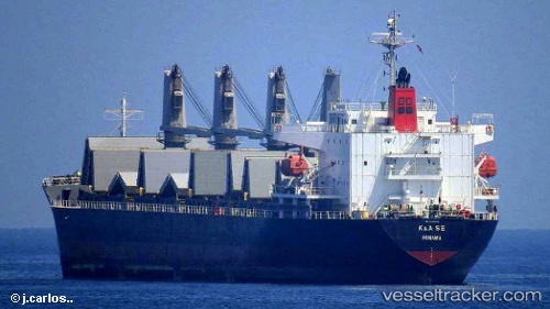
Find the position of the vessel Irma S on the map. The latter are known coordinates and path.
marine traffic ship tracker show on live map
The current position of vessel Irma S is 31.33230 lat / 30.08198 lng. Updated: 2025-10-13 10:16:33 UTCDetails:
Last coordinates of the vessel:
UTC, 31.33167, 30.08167, course: -1, speed: 0UTC, 31.33227, 30.08203, course: 255, speed: 0
UTC, 31.33226, 30.08201, course: 255, speed: 0.1
2025-10-13 10:16:33 UTC, 31.33230, 30.08198, course: 255, speed: 0