 vesseltracker.com
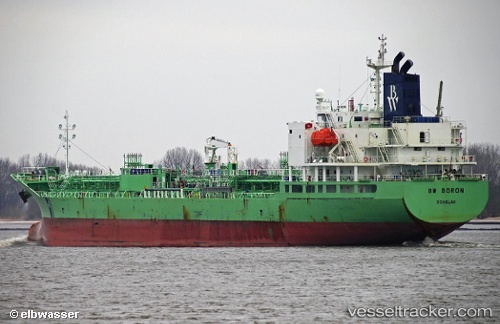
Find the position of the vessel Indigo Ray on the map. The latter are known coordinates and path.
marine traffic ship tracker show on live map
The current position of vessel Indigo Ray is 51.87863 lat / 4.29544 lng. Updated: 2025-10-11 00:38:06 UTCCurrently sailing under the flag of Liberia
Details:
Last coordinates of the vessel:
UTC, 51.87862, 4.29545, course: 72, speed: 0UTC, 51.87861, 4.29545, course: 72, speed: 0
UTC, 51.87868, 4.29541, course: 72, speed: 0
2025-10-11 00:38:06 UTC, 51.87863, 4.29544, course: 72, speed: 0
The ship also appears on the maps: