 vesseltracker.com
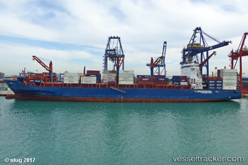
Find the position of the vessel Ete N on the map. The latter are known coordinates and path.
marine traffic ship tracker show on live map
The current position of vessel Ete N is 32.26567 lat / 33.45871 lng. Updated: 2025-11-17 01:49:12 UTCCurrently sailing under the flag of Liberia
Ete N built in 2012 year
Deadweight:
41139 tDetails:
Last coordinates of the vessel:
UTC, 31.75530, 32.71744, course: 55, speed: 13.4UTC, 31.81806, 32.81342, course: 52, speed: 13.1
UTC, 32.03338, 33.12768, course: 51, speed: 13.8
2025-11-17 01:49:12 UTC, 32.26567, 33.45871, course: 54, speed: 13.4