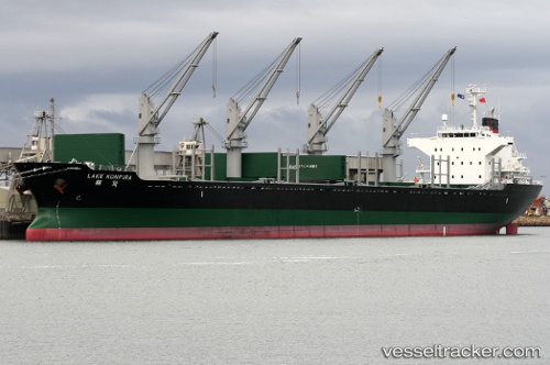
vessel 636019935 IMO: 9515527, vesseltracker.com
Vessel 636019935 IMO: 9515527,
MMSI: 636019935 callsign: size: x

Find the position of the vessel 636019935 on the map. The latter are known coordinates and path.

marine traffic ship tracker show on live map

The current position of vessel 636019935 is 38.4238 lat / 23.6031 lng. Updated: 2025-07-13 17:02:46 UTC
Details:


Last coordinates of the vessel:
UTC, 38.4238, 23.6031, course: 280, speed: 0
UTC, 38.4237, 23.603, course: 280, speed: 0
2025-07-13 17:02:46 UTC, 38.4238, 23.6031, course: 280, speed: 0


Most frequent ports a vessels calls at 636019935 (636019935):

Burnie Harbor, traffic: 3
Taku Bar, traffic: 3
Tauranga, traffic: 3
Selat Lombok, traffic: 2
Busan, traffic: 2
Su-Ao Kang, traffic: 2
Dagu Bar, traffic: 2
Geraldton, traffic: 2
Ube, traffic: 2
Ulsan, traffic: 2
Yokkaichi, traffic: 2
Au-Ao Chaing, traffic: 2
Port Headland, traffic: 2
Singapore, traffic: 1
Ta-Ku, traffic: 1

Link to the map:


Find another ship

636019935 (636019935) last ports (portcalls and passsages)

Taku Bar | 2024-01-07 21:44:29
Ta-Ku | 2024-01-04 23:22:50
Dagu Bar | 2024-01-03 21:48:28
Taku Bar | 2024-01-03 20:41:34
Dagu Bar | 2023-12-30 20:52:40
Taku Bar | 2023-12-30 19:39:13
Bayuquan | 2023-12-27 06:11:52
Tauranga | 2022-12-17 21:03:11
Bluff Harbor | 2022-12-05 05:34:38
Tauranga | 2022-11-24 11:53:05
Brisbane | 2022-11-15 06:04:56
Flying Fish Cove | 2022-10-27 01:10:25
Singapore | 2022-10-22 13:04:01
Sambu | 2022-10-22 10:41:24
Su-Ao Kang | 2022-10-13 19:34:05
Su-Ao Kang | 2022-10-09 19:32:29
Burnie Harbor | 2022-07-04 20:22:29
Burnie Harbor | 2022-06-30 19:17:07
Hobart | 2022-06-26 04:06:02
Melbourne | 2022-06-20 01:43:57
Yokkaichi | 2022-05-16 22:18:20
Yokkaichi | 2022-05-12 22:11:32
Tauranga | 2022-03-24 03:41:20
Busan | 2022-02-26 12:01:13
Ulsan | 2022-02-25 21:15:47
Ube | 2022-02-25 06:10:09
Selat Lombok | 2022-01-09 14:27:43
Geraldton | 2022-01-03 01:47:25
Port Headland | 2021-12-16 10:56:56