 vesseltracker.com
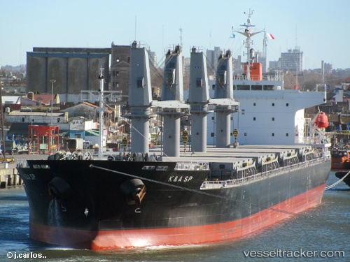
Find the position of the vessel Kerasia S on the map. The latter are known coordinates and path.
marine traffic ship tracker show on live map
The current position of vessel Kerasia S is -22.95419 lat / 14.49028 lng. Updated: 2025-10-09 18:26:04 UTCCurrently sailing under the flag of Liberia
Details:
Last coordinates of the vessel:
UTC, -22.95417, 14.49029, course: 68, speed: 0UTC, -22.95421, 14.49030, course: 68, speed: 0
UTC, -22.95417, 14.49027, course: 68, speed: 0
2025-10-09 18:26:04 UTC, -22.95419, 14.49028, course: 68, speed: 0