 vesseltracker.com
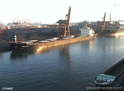
Find the position of the vessel '636020403' on the map. The latter are known coordinates and path.
marine traffic ship tracker show on live map
The current position of vessel '636020403' is 22.1682 lat / 114.122 lng. Updated: 2025-07-01 08:47:52 UTCPort of registry:
Majuro (capital of the Marshall Islands)Speed:
16.6 knotPayload_mass:
75131 tonneGross tonnage:
40198Service entry:
2008-01-01T00:00:00ZManufacturer:
Hudong-Zhonghua Shipbuilding (Chinese shipbuilding company)
Details:
Last coordinates of the vessel:
UTC, 22.1315, 113.798, course: 165, speed: 12.5UTC, 22.1063, 113.908, course: 83, speed: 12.4
UTC, 22.1433, 114.068, course: 64, speed: 4.9
2025-07-01 08:47:52 UTC, 22.1682, 114.122, course: 330, speed: 0