 vesseltracker.com
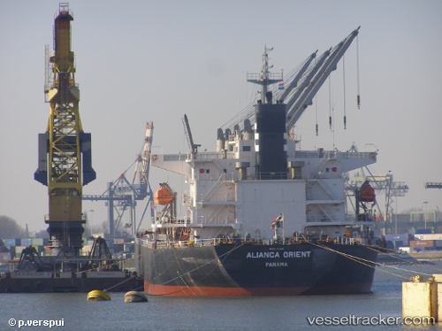
Vessel S BREEZE IMO: 9317145, MMSI: 636020525 Bulk Carrier
UTC, 48.37612, -6.25139, course: 209, speed: 10
UTC, 48.22536, -6.37714, course: 214, speed: 10.6
2026-01-17 15:29:01 UTC, 48.10170, -6.48700, course: 213, speed: 11.3
Live AIS position:
UTC. 39 nm SE of San Clodio),
updated 2026-01-17 15:29:01 UTC.
Find the position of the vessel S BREEZE on the map. The latter are known coordinates and path.
marine traffic ship tracker show on live map
The current position of vessel S BREEZE is 48.10170 lat / -6.48700 lng. Updated: 2026-01-17 15:29:01 UTCCurrently sailing under the flag of Liberia
S BREEZE built in 2006 year
Deadweight:
52454 tDetails:
Last coordinates of the vessel:
UTC, 48.49956, -6.14555, course: 209, speed: 9.4UTC, 48.37612, -6.25139, course: 209, speed: 10
UTC, 48.22536, -6.37714, course: 214, speed: 10.6
2026-01-17 15:29:01 UTC, 48.10170, -6.48700, course: 213, speed: 11.3