 vesseltracker.com
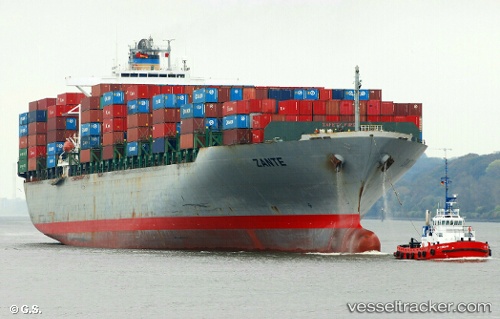
Vessel 636020868 IMO: 9261451, MMSI: 636020868
UTC, 26.52127, -79.38117, course: 3, speed: 15.1
UTC, 26.87727, -79.36435, course: 3, speed: 15.1
2026-01-17 17:47:54 UTC, 27.04468, -79.34998, course: 5, speed: 15.2
Live AIS position:
UTC. 30 nm NW of West End),
updated 2026-01-17 17:47:54 UTC.
Find the position of the vessel 636020868 on the map. The latter are known coordinates and path.
marine traffic ship tracker show on live map
The current position of vessel 636020868 is 27.04468 lat / -79.34998 lng. Updated: 2026-01-17 17:47:54 UTCDetails:
Last coordinates of the vessel:
UTC, 26.28367, -79.40455, course: 9, speed: 14.6UTC, 26.52127, -79.38117, course: 3, speed: 15.1
UTC, 26.87727, -79.36435, course: 3, speed: 15.1
2026-01-17 17:47:54 UTC, 27.04468, -79.34998, course: 5, speed: 15.2