 vesseltracker.com
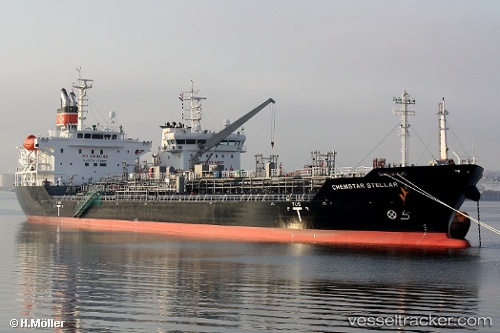
Find the position of the vessel CHEM PLUTO on the map. The latter are known coordinates and path.
marine traffic ship tracker show on live map
The current position of vessel CHEM PLUTO is 4.44863 lat / 106.24225 lng. Updated: 2025-10-20 23:47:14 UTCCurrently sailing under the flag of Liberia
CHEM PLUTO built in 2012 year
Deadweight:
21323 tDetails:
Last coordinates of the vessel:
UTC, 3.89209, 105.84583, course: 37, speed: 12.1UTC, 4.11440, 106.02388, course: 40, speed: 11.6
UTC, 4.30672, 106.18080, course: 37, speed: 12.2
2025-10-20 23:47:14 UTC, 4.44863, 106.24225, course: 11, speed: 12
The ship also appears on the maps: