 vesseltracker.com
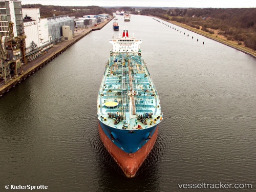
Find the position of the vessel ROSE I on the map. The latter are known coordinates and path.
marine traffic ship tracker show on live map
The current position of vessel ROSE I is 37.88241 lat / 23.52822 lng. Updated: 2025-11-12 10:20:45 UTCCurrently sailing under the flag of Liberia
ROSE I built in 2007 year
Deadweight:
37900 tDetails:
Last coordinates of the vessel:
UTC, 37.88229, 23.52880, course: 355, speed: 0.2UTC, 37.88236, 23.52824, course: 11, speed: 0
UTC, 37.88241, 23.52822, course: 12, speed: 0
2025-11-12 10:20:45 UTC, 37.88241, 23.52822, course: 12, speed: 0