 vesseltracker.com
Live AIS position:
35.58618° N, 119.79127° E UTC. Near DONGJIAKOU),
updated 2025-11-20 08:50:43 UTC.
Find the position of the vessel CAPE TRADER on the map. The latter are known coordinates and path.
marine traffic ship tracker show on live map
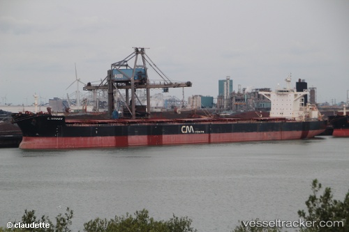
The current position of vessel CAPE TRADER is 35.58618 lat / 119.79127 lng. Updated: 2025-11-20 08:50:43 UTCCurrently sailing under the flag of Liberia
CAPE TRADER built in 2008 year
Deadweight:
169237 tDetails:
Last coordinates of the vessel:
UTC, 35.58618, 119.79118, course: 146, speed: 0UTC, 35.58637, 119.79107, course: 146, speed: 0
UTC, 35.58612, 119.79120, course: 146, speed: 0
2025-11-20 08:50:43 UTC, 35.58618, 119.79127, course: 145, speed: 0