 vesseltracker.com
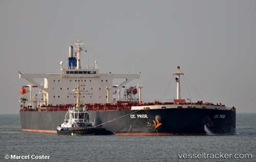
Find the position of the vessel RIDE I on the map. The latter are known coordinates and path.
marine traffic ship tracker show on live map
The current position of vessel RIDE I is 38.9658 lat / 117.798 lng. Updated: 2025-08-08 11:56:34 UTCCurrently sailing under the flag of Liberia
RIDE I built in 2002 year
Deadweight:
171381 tDetails:
Last coordinates of the vessel:
UTC, 38.9658, 117.798, course: 281, speed: 0UTC, 38.9658, 117.798, course: 281, speed: 0
UTC, 38.9658, 117.798, course: 281, speed: 0
2025-08-08 11:56:34 UTC, 38.9658, 117.798, course: 279, speed: 0