 vesseltracker.com
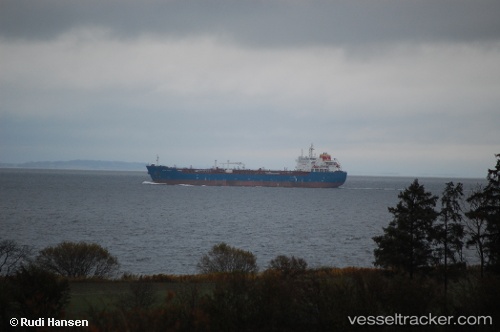
Find the position of the vessel KINGSTON on the map. The latter are known coordinates and path.
marine traffic ship tracker show on live map
The current position of vessel KINGSTON is 37.8567 lat / 23.536 lng. Updated: 2025-09-13 04:22:15 UTCCurrently sailing under the flag of Liberia
KINGSTON built in 2009 year
Deadweight:
38349 tDetails:
Last coordinates of the vessel:
UTC, 37.8568, 23.5364, course: 341, speed: 0UTC, 37.8569, 23.5363, course: 339, speed: 0.1
UTC, 37.8569, 23.5362, course: 340, speed: 0.1
2025-09-13 04:22:15 UTC, 37.8567, 23.536, course: 355, speed: 0.1