 vesseltracker.com
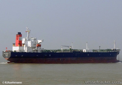
Find the position of the vessel ANNA MARIA P on the map. The latter are known coordinates and path.
marine traffic ship tracker show on live map
The current position of vessel ANNA MARIA P is 41.66 lat / 29.6367 lng. Updated: 2025-09-13 17:51:42 UTCCurrently sailing under the flag of Liberia
ANNA MARIA P built in 2005 year
Deadweight:
47278 tDetails:
Last coordinates of the vessel:
UTC, 41.1961, 29.0996, course: 55, speed: 7.7UTC, 41.2885, 29.2003, course: 30, speed: 13
UTC, 41.4509, 29.3171, course: 35, speed: 12.9
2025-09-13 17:51:42 UTC, 41.66, 29.6367, course: -1, speed: 12