 vesseltracker.com
Find the position of the vessel HARDRADA on the map. The latter are known coordinates and path.
marine traffic ship tracker show on live map
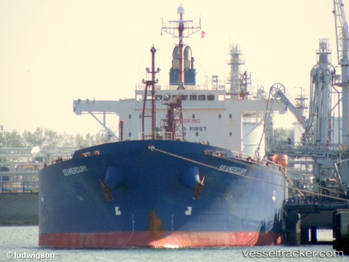
The current position of vessel HARDRADA is 32.36652 lat / 15.21477 lng. Updated: 2025-10-23 17:18:18 UTCCurrently sailing under the flag of Liberia
HARDRADA built in 2007 year
Deadweight:
45983 tDetails:
Last coordinates of the vessel:
UTC, 32.36655, 15.21480, course: 2, speed: 0UTC, 32.36648, 15.21479, course: 2, speed: 0
UTC, 32.36646, 15.21478, course: 2, speed: 0
2025-10-23 17:18:18 UTC, 32.36652, 15.21477, course: 2, speed: 0