 vesseltracker.com
Live AIS position:
10.39402° N, 107.03816° E UTC. Near Cai Mep),
updated 2025-11-24 03:22:55 UTC.
Find the position of the vessel Merkur Archipelago on the map. The latter are known coordinates and path.
marine traffic ship tracker show on live map
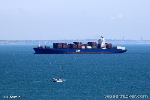
The current position of vessel Merkur Archipelago is 10.39402 lat / 107.03816 lng. Updated: 2025-11-24 03:22:55 UTCCurrently sailing under the flag of Liberia
Merkur Archipelago built in 2009 year
Deadweight:
51534 tDetails:
Last coordinates of the vessel:
UTC, 10.51523, 107.01294, course: 28, speed: 0UTC, 10.51519, 107.01296, course: 28, speed: 0
UTC, 10.42899, 107.01699, course: 135, speed: 10.8
2025-11-24 03:22:55 UTC, 10.39402, 107.03816, course: 164, speed: 10.4