 vesseltracker.com
Find the position of the vessel OKEE GUSTAV on the map. The latter are known coordinates and path.
marine traffic ship tracker show on live map
The current position of vessel OKEE GUSTAV is 23.8023 lat / -81.4577 lng. Updated: 2025-07-19 23:16:32 UTCCurrently sailing under the flag of Liberia
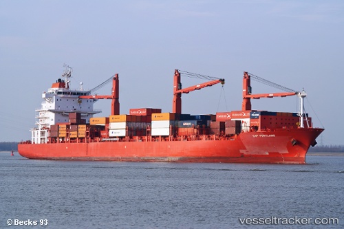
OKEE GUSTAV built in 2007 year
Deadweight:
28142 tDetails:
Last coordinates of the vessel:
UTC, 23.5528, -82.1466, course: 73, speed: 17UTC, 23.6277, -81.9252, course: 69, speed: 17.2
UTC, 23.7453, -81.6136, course: 69, speed: 17
2025-07-19 23:16:32 UTC, 23.8023, -81.4577, course: 68, speed: 17.2