 vesseltracker.com
Live AIS position:
4.46639° N, 7.16348° E UTC. Near Bonny),
updated 2025-11-19 14:47:15 UTC.
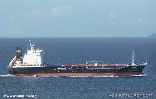
Find the position of the vessel RAHAMA on the map. The latter are known coordinates and path.
marine traffic ship tracker show on live map
The current position of vessel RAHAMA is 4.46639 lat / 7.16348 lng. Updated: 2025-11-19 14:47:15 UTCCurrently sailing under the flag of Nigeria
RAHAMA built in 2001 year
Deadweight:
8067 tDetails:
Last coordinates of the vessel:
UTC, 4.46638, 7.16352, course: 209, speed: 0UTC, 4.46639, 7.16352, course: 203, speed: 0
UTC, 4.46639, 7.16352, course: 203, speed: 0
2025-11-19 14:47:15 UTC, 4.46639, 7.16348, course: 202, speed: 0