 vesseltracker.com
Find the position of the vessel PRINCE JAMESON I on the map. The latter are known coordinates and path.
marine traffic ship tracker show on live map
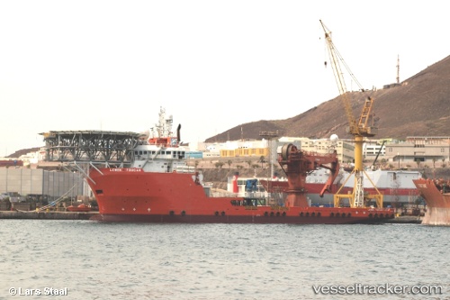
The current position of vessel PRINCE JAMESON I is 4.26141 lat / 8.14747 lng. Updated: 2025-10-15 22:06:52 UTCCurrently sailing under the flag of Nigeria
PRINCE JAMESON I built in 2008 year
Deadweight:
4811 tDetails:
Last coordinates of the vessel:
UTC, 4.26103, 8.14891, course: 96, speed: 0UTC, 4.26110, 8.14895, course: 97, speed: 0
UTC, 4.26110, 8.14761, course: 250, speed: 0.6
2025-10-15 22:06:52 UTC, 4.26141, 8.14747, course: 292, speed: 0.3