 vesseltracker.com
Find the position of the vessel ALTAY on the map. The latter are known coordinates and path.
marine traffic ship tracker show on live map
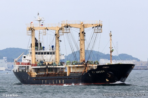
The current position of vessel ALTAY is 37.0191 lat / 124.44 lng. Updated: 2025-02-22 19:00:18 UTCCurrently sailing under the flag of Sierra leone
ALTAY built in 1997 year
Deadweight:
3803 tPayload_mass:
3803 tonneGross tonnage:
2646Service entry:
1997-01-01T00:00:00ZDetails:
Last coordinates of the vessel:
UTC, 36.7796, 124.809, course: 308, speed: 7.8UTC, 36.8427, 124.708, course: 314, speed: 8.1
UTC, 36.9038, 124.613, course: 315, speed: 7.4
2025-02-22 19:00:18 UTC, 37.0191, 124.44, course: 316, speed: 7.1