 vesseltracker.com
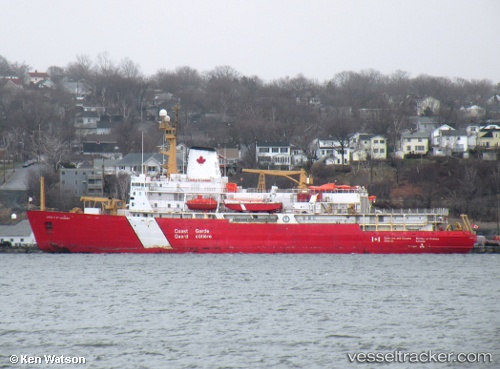
Find the position of the vessel Louis S St Laurent on the map. The latter are known coordinates and path.
marine traffic ship tracker show on live map
The current position of vessel Louis S St Laurent is 75.99841 lat / -135.01953 lng. Updated: 2025-10-11 02:05:34 UTCCurrently sailing under the flag of Canada
Louis S St Laurent built in 1969 year
Deadweight:
4640 tDetails:
Last coordinates of the vessel:
UTC, 76.03167, -131.98167, course: -1, speed: 4UTC, 76.01167, -132.39500, course: -1, speed: 10
UTC, 76.01895, -133.27448, course: 283, speed: 5.5
2025-10-11 02:05:34 UTC, 75.99841, -135.01953, course: 273, speed: 10.1
The ship also appears on the maps: