 vesseltracker.com
Live AIS position:
29.86116° N, 32.58406° E UTC. Near Bur Ibrahim),
updated 2025-11-23 08:29:41 UTC.
Find the position of the vessel Barhom Ii on the map. The latter are known coordinates and path.
marine traffic ship tracker show on live map
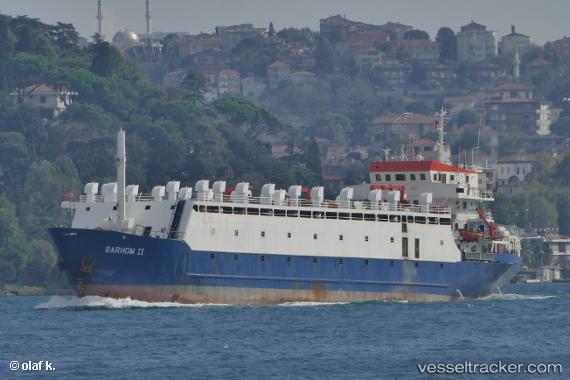
The current position of vessel Barhom Ii is 29.86116 lat / 32.58406 lng. Updated: 2025-11-23 08:29:41 UTCCurrently sailing under the flag of Tanzania
Barhom Ii built in 1977 year
Deadweight:
2992 tDetails:
Last coordinates of the vessel:
UTC, 29.86103, 32.58302, course: -1, speed: 0UTC, 29.86107, 32.58306, course: -1, speed: 0
UTC, 29.86143, 32.58401, course: -1, speed: 0
2025-11-23 08:29:41 UTC, 29.86116, 32.58406, course: -1, speed: 0.3