 vesseltracker.com
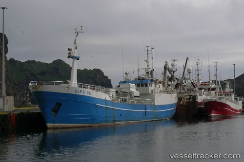
Vessel Kap Ii IMO: 6804692, MMSI: 251069110 Fish Carrier
UTC, 65.34727, -24.45888, course: 72, speed: 1.5
UTC, 65.26893, -24.23552, course: 128, speed: 10.8
2026-01-16 11:16:28 UTC, 65.09109, -23.71048, course: 123, speed: 10
Live AIS position:
UTC. 11 nm N of RIF),
updated 2026-01-16 11:16:28 UTC.
Find the position of the vessel Kap Ii on the map. The latter are known coordinates and path.
marine traffic ship tracker show on live map
The current position of vessel Kap Ii is 65.09109 lat / -23.71048 lng. Updated: 2026-01-16 11:16:28 UTCDetails:
Last coordinates of the vessel:
UTC, 65.34689, -24.43598, course: 162, speed: 2.2UTC, 65.34727, -24.45888, course: 72, speed: 1.5
UTC, 65.26893, -24.23552, course: 128, speed: 10.8
2026-01-16 11:16:28 UTC, 65.09109, -23.71048, course: 123, speed: 10