 vesseltracker.com
Find the position of the vessel Lustrafjord on the map. The latter are known coordinates and path.
marine traffic ship tracker show on live map
The current position of vessel Lustrafjord is 61.18034 lat / 7.23992 lng. Updated: 2025-10-22 13:17:26 UTCCurrently sailing under the flag of Norway
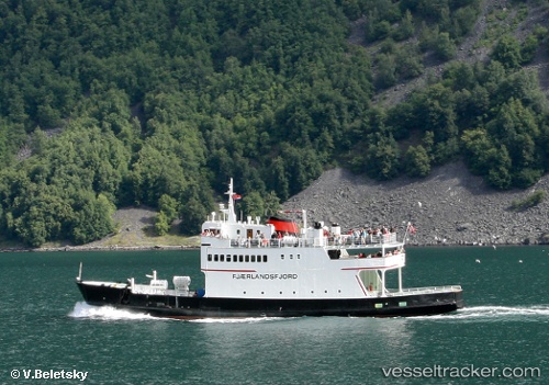
Lustrafjord built in 1968 year
Details:
Last coordinates of the vessel:
UTC, 61.18034, 7.23995, course: -1, speed: 0UTC, 61.18035, 7.23992, course: -1, speed: 0
UTC, 61.18035, 7.23992, course: -1, speed: 0
2025-10-22 13:17:26 UTC, 61.18034, 7.23992, course: -1, speed: 0