 vesseltracker.com
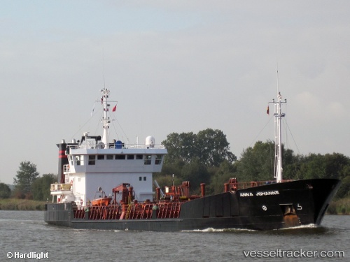
Find the position of the vessel Nany on the map. The latter are known coordinates and path.
marine traffic ship tracker show on live map
The current position of vessel Nany is -34.61818 lat / -58.19929 lng. Updated: 2025-10-08 18:29:52 UTCCurrently sailing under the flag of Argentina
Nany built in 1994 year
Deadweight:
3294 tDetails:
Last coordinates of the vessel:
UTC, -34.72953, -57.84125, course: 303, speed: 0.1UTC, -34.72534, -57.84741, course: 356, speed: 1.7
UTC, -34.65766, -58.05789, course: 293, speed: 9.2
2025-10-08 18:29:52 UTC, -34.61818, -58.19929, course: 280, speed: 9.5