 vesseltracker.com
Find the position of the vessel Julio A on the map. The latter are known coordinates and path.
marine traffic ship tracker show on live map
The current position of vessel Julio A is -34.63315 lat / -58.34153 lng. Updated: 2025-10-08 19:33:23 UTCCurrently sailing under the flag of Argentina
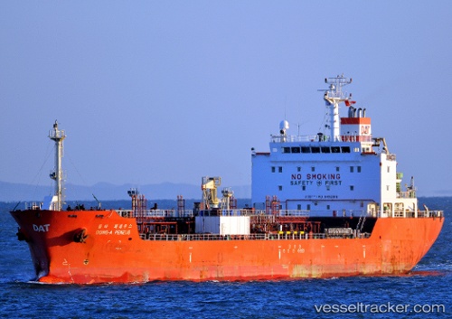
Julio A built in 2009 year
Deadweight:
12891 tDetails:
Last coordinates of the vessel:
UTC, -34.63310, -58.34153, course: 72, speed: 0UTC, -34.63313, -58.34150, course: 72, speed: 0
UTC, -34.63315, -58.34153, course: 72, speed: 0
2025-10-08 19:33:23 UTC, -34.63315, -58.34153, course: 0, speed: 0