 vesseltracker.com
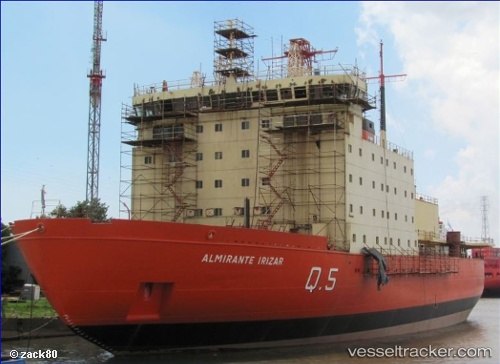
Find the position of the vessel ALMIRANTE IRIZAR on the map. The latter are known coordinates and path.
marine traffic ship tracker show on live map
The current position of vessel ALMIRANTE IRIZAR is -34.59366 lat / -58.36558 lng. Updated: 2025-10-30 12:30:49 UTCCurrently sailing under the flag of Argentina
ALMIRANTE IRIZAR built in 1978 year
Deadweight:
4600 tDetails:
Last coordinates of the vessel:
UTC, -34.59365, -58.36557, course: -1, speed: 0UTC, -34.59365, -58.36558, course: -1, speed: 0
UTC, -34.59366, -58.36558, course: -1, speed: 0
2025-10-30 12:30:49 UTC, -34.59366, -58.36558, course: -1, speed: 0
The ship also appears on the maps: