 vesseltracker.com
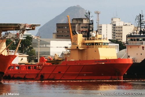
Find the position of the vessel Elizabeth C on the map. The latter are known coordinates and path.
marine traffic ship tracker show on live map
The current position of vessel Elizabeth C is -22.8745 lat / -43.1325 lng. Updated: 2025-02-22 20:16:53 UTCPort of registry:
Itajaí (Brazilian municipality)Payload_mass:
3311 tonneGross tonnage:
2554Service entry:
2008-01-01T00:00:00ZDetails:
Last coordinates of the vessel:
UTC, -22.8743, -43.1325, course: 63, speed: 0UTC, -22.8745, -43.1328, course: 63, speed: 0
UTC, -22.8745, -43.1327, course: 63, speed: 0
2025-02-22 20:16:53 UTC, -22.8745, -43.1325, course: 63, speed: 0