 vesseltracker.com
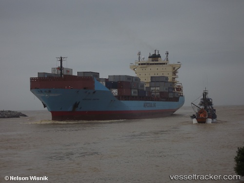
Find the position of the vessel Mercosul Santos on the map. The latter are known coordinates and path.
marine traffic ship tracker show on live map
The current position of vessel Mercosul Santos is -23.961 lat / -46.297 lng. Updated: 2025-06-03 04:53:27 UTCCurrently sailing under the flag of Brazil
Mercosul Santos built in 2009 year
Deadweight:
35239 tPayload_mass:
35239 tonneGross tonnage:
25888Service entry:
2009-01-01T00:00:00ZManufacturer:
Volkswerft (company)
Details:
Last coordinates of the vessel:
UTC, -23.961, -46.297, course: 137, speed: 0UTC, -23.961, -46.297, course: 137, speed: 0
UTC, -23.961, -46.297, course: 137, speed: 0
2025-06-03 04:53:27 UTC, -23.961, -46.297, course: 138, speed: 0