 vesseltracker.com
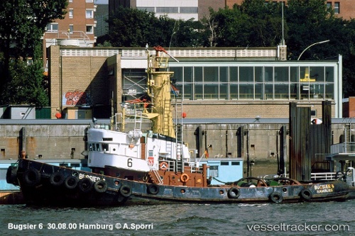
Vessel Touareg IMO: 7213979, MMSI: 377907128 Tug
UTC, 16.80004, -62.21067, course: -1, speed: 0
UTC, 16.73333, -62.24500, course: -1, speed: 7
2026-01-17 10:37:36 UTC, 16.71951, -62.24610, course: -1, speed: 5.1
Live AIS position:
UTC. Near Plymouth),
updated 2026-01-17 10:37:36 UTC.
Find the position of the vessel Touareg on the map. The latter are known coordinates and path.
marine traffic ship tracker show on live map
The current position of vessel Touareg is 16.71951 lat / -62.24610 lng. Updated: 2026-01-17 10:37:36 UTCDetails:
Last coordinates of the vessel:
UTC, 16.79984, -62.21008, course: -1, speed: 0.1UTC, 16.80004, -62.21067, course: -1, speed: 0
UTC, 16.73333, -62.24500, course: -1, speed: 7
2026-01-17 10:37:36 UTC, 16.71951, -62.24610, course: -1, speed: 5.1