 vesseltracker.com
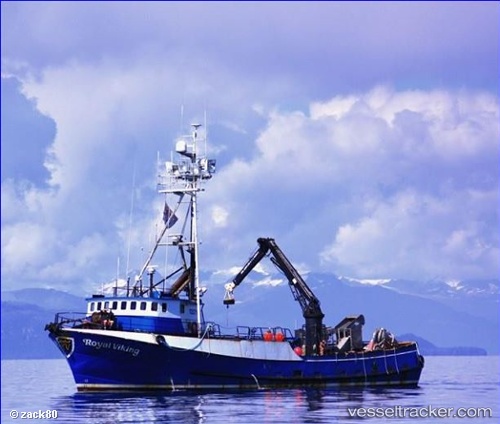
Vessel Royal Viking IMO: 7232614, MMSI: 303669000 Fishing Vessel
UTC, 53.86916, -166.55582, course: -1, speed: 0
UTC, 53.86917, -166.55585, course: -1, speed: 0
2026-01-17 09:32:29 UTC, 53.86912, -166.55585, course: -1, speed: 0
Live AIS position:
UTC. Near Dutch Harbor),
updated 2026-01-17 09:32:29 UTC.
Find the position of the vessel Royal Viking on the map. The latter are known coordinates and path.
marine traffic ship tracker show on live map
The current position of vessel Royal Viking is 53.86912 lat / -166.55585 lng. Updated: 2026-01-17 09:32:29 UTCDetails:
Last coordinates of the vessel:
UTC, 53.86916, -166.55582, course: -1, speed: 0UTC, 53.86916, -166.55582, course: -1, speed: 0
UTC, 53.86917, -166.55585, course: -1, speed: 0
2026-01-17 09:32:29 UTC, 53.86912, -166.55585, course: -1, speed: 0