 vesseltracker.com
Live AIS position:
54.37342° N, 10.98432° E UTC. Near HEILIGENHAFEN),
updated 2025-11-21 07:01:07 UTC.
Find the position of the vessel Camilla Hoej on the map. The latter are known coordinates and path.
marine traffic ship tracker show on live map
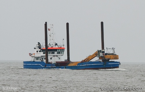
The current position of vessel Camilla Hoej is 54.37342 lat / 10.98432 lng. Updated: 2025-11-21 07:01:07 UTCCurrently sailing under the flag of Denmark
Camilla Hoej built in 1972 year
Deadweight:
610 tDetails:
Last coordinates of the vessel:
UTC, 54.37341, 10.98431, course: 106, speed: 0UTC, 54.37341, 10.98431, course: 106, speed: 0
UTC, 54.37341, 10.98428, course: 106, speed: 0
2025-11-21 07:01:07 UTC, 54.37342, 10.98432, course: 107, speed: 0